


Acknowledgment
The fire danger climatology files provided here have been produced by Scion(external link) for Fire and Emergency New Zealand (FENZ). They will be updated from time to time as new stations and data becomes available.
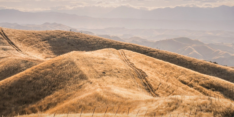
New Zealand experiences around 4,400 vegetation fires each year that burn on average 6000 ha of
rural lands. To effectively manage this risk, New Zealand fire managers require a knowledge of fire weather extremes and their likelihood of occurrence relative to long-term statistics of fire weather and fire danger conditions. View the Updated Fire Danger Climatology Report for New Zealand(external link) which describes the methodology used to produce the individual station files below.
FENZ also acknowledges MetService(external link), NIWA(external link), Auckland Council(external link) and Hawkes Bay Regional Council(external link) for providing data to enable the production of these fire weather climatologies.
North Island
These are fire weather climatologies developed using daily fire weather observations and are different to those developed using the World Meteorological Organisation standard for calculating climatic norms. They comprise averages and extremes calculated over the varying lengths of record available for each station, rather than a standard climatological period (i.e. 20 or 30 years). Where necessary, the fire weather data have also been adjusted to fix gaps, obvious errors and other inconsistencies (e.g. associated with station changes), so the data shown and resulting averages, etc. may differ slightly from those reported elsewhere (such as in FWSYS or in previous summaries).
South Island
These are fire weather climatologies developed using daily fire weather observations and are different to those developed using the World Meteorological Organisation standard for calculating climatic norms. They comprise averages and extremes calculated over the varying lengths of record available for each station, rather than a standard climatological period (i.e. 20 or 30 years). Where necessary, the fire weather data have also been adjusted to fix gaps, obvious errors and other inconsistencies (e.g. associated with station changes), so the data shown and resulting averages, etc. may differ slightly from those reported elsewhere (such as in FWSYS or in previous summaries).